Projects put forward to blunt rising sea
Published 4:11 pm Monday, June 17, 2024
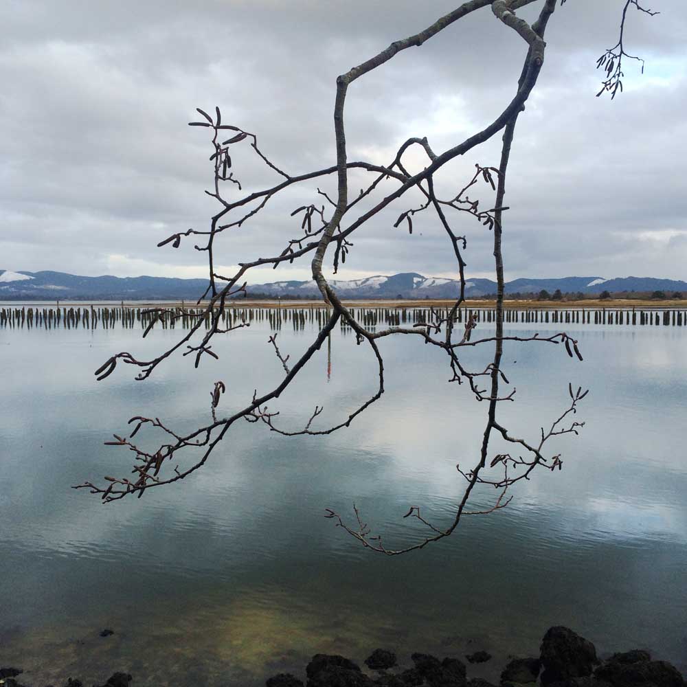
- Studded with old pile dikes and other evidence of its busy industrial heritage, Baker Bay is highly subject to tidal influence and changes in sea level.
CHINOOK — About 50 community members, local officials and stakeholders converged inside the gymnasium of the Historic Chinook School earlier this month to address some of the biggest perils facing south Pacific County communities both now and in the future.
On June 6, the Pacific Conservation District, Washington Sea Grants and Lower Columbia Estuary Partnership held the last of its four workshops in a series devoted to confronting present and future hazards affecting Baker Bay. The input received from the community over the past year has helped organizers develop and refine half a dozen resilience projects aimed at reducing the risk posed by sea level rise.
I’t’s Highway 101. That’s the ballgame … You can’t lose that.’
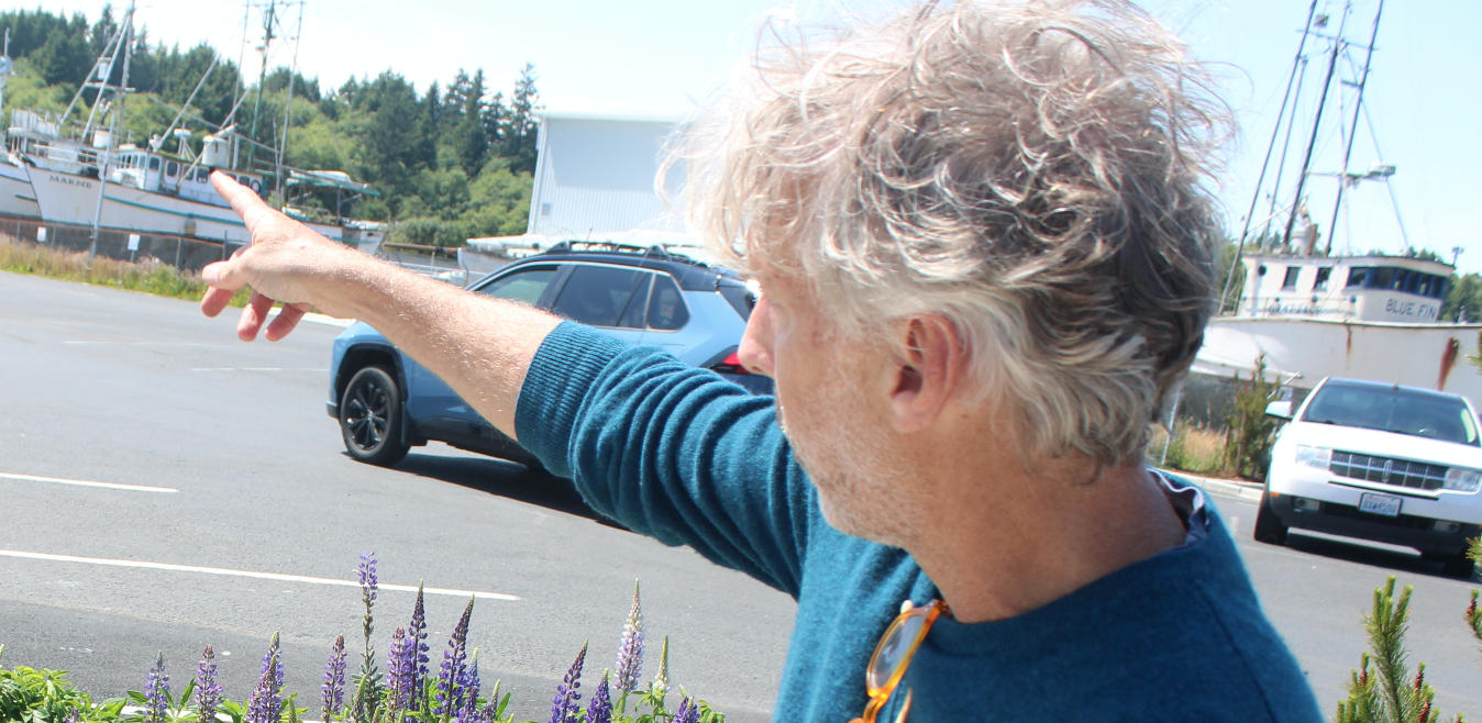
Matt Lessnau, Ilwaco city councilor, describing potential threats to the main transportation artery between the peninsula and the Astoria-Megler Bridge
Sea level rise is projected to increase flooding and degrade habitats in a variety of ways along the Columbia River estuary in the coming decades. These areas include Baker Bay, Grays Bay — where a parallel workshop series in Wahkiakum County has also been taking place — and connected streams such as Grays River.
Rising tides result in storm surges that move higher and further inland, increasing how often extreme events occur; 100-year floods could become more like 10-year floods. Additionally, higher waters move shoreline materials and sediments, and can cause the land to erode or grow under certain conditions.
Sea level rise also causes the loss of mudflats, marshes and intertidal habitats if there is a lack of upland area for migration. These wetlands provide critical habitat for species like salmon, buffer against floods and improve water quality.
Higher seas also bring about higher groundwater levels, with the increase in salinity harming wells, septic systems and vegetation by reducing water quality and soil stability.
Since 2022, the organizers of the workshop series have been gathering scientific information and local insights to develop resilience projects to combat the flooding and erosion that will threaten key infrastructure and community assets important to everyday life.
The first workshop, in the spring of 2023, introduced stakeholders to the work that was being done and gave them the opportunity to share local context and identify the themes and goals of the series moving forward. The second workshop, held last summer, proposed ideas to address issues brought up during the first workshop, and the ensuing workshop in October identified actions and approaches that could be taken for the issues that had been prioritized.
Resilience projects
During this month’s final workshop, organizers sought feedback by giving those in attendance 10 raffle tickets to “fund” projects after reviewing the proposals and relevant considerations — such as how much motivation there is to see the project come to fruition and how likely it is that the necessary funding can be secured. Attendees were also encouraged to share additional written comments.
“You can put those [tickets] all in one project, you can spread them all around, you can do whatever you want with them,” said Jackson Blalock, the marine and estuarine resilience program manager for the conservation district. He explained that the final results would be shared at the end of the workshop.
The project that garnered the most support from those in attendance at the workshop would address stormwater management in Ilwaco by integrating green stormwater infrastructure into public spaces and private properties across town to slow, store and evapotranspirate rainwater where it falls. Stormwater runoff exacerbates tidal flooding, while increased rainfall will combine with higher future tides to intensify current problems.
An example of infrastructure that could be used for that project includes bioswales, which are linear, vegetated ditches that allow for collecting and conveying stormwater while removing debris and pollution. Another possibility is rain gardens, which look similar to a landscaped garden on the surface but the native soil 1-2 feet below it is replaced with a spongy compost mix that holds and absorbs stormwater.
Another project that received solid support from workshop attendees would aim to reduce shoreline erosion along U.S. 101 in Chinook by providing an ongoing in-water disposal site for local sediments dredged by the Port of Chinook. The project also calls for reducing the beach slope, creating a marsh and implementing a hybrid dynamic revetment — such as placing large wood, cobble and sand on top of cobble and dune plantings.
That stretch of highway is critically important to those living in south Pacific County, providing access to the Astoria-Megler Bridge. At present, it takes about 20 minutes to drive to the bridge from downtown Long Beach — if that stretch of U.S. 101 were to be undriveable, it would take about 30 extra minutes each way to reach the bridge by traveling through Naselle.
“It’s Highway 101,” said Ilwaco City Councilor Matt Lessnau when asked why that project stood out to him. “That’s the ballgame … You can’t lose that.”
Next steps
As it so often is, funding is a key issue for many of the Baker Bay resilience projects that were being proposed at the workshop.
Thus far, the workshops have influenced at least five grant proposals across both Baker Bay and Grays Bay. The two aforementioned projects, the Ilwaco stormwater management plan and Chinook shoreline erosion reduction and habitat enhancement, have had grant applications submitted for state and federal funding or are in the process of being completed.
This winter, a “Bay to Bay” sea level rise resiliency strategy will be published. The outreach and feedback gathered during the workshop series is also being documented and shared with local organizations to allow them to be more competitive with funding proposals and to help them identify coastal resilience projects that align with community priorities.
“The value of having these things written down is really important. A lot of the time when you go for a grant or for any sort of funding, it’s made more competitive when you have a story as to why it has a lot of support,” Blalock said. “What we’ve done here is we’ve brought a lot of different organizations and groups together to provide some insight from us, residents and on and on and on.
“What we’re able to do with it now is say ‘Hey, we have this in a document.’ This idea that people may have just had a conversation about somewhere, or this idea that someone was talking with someone else at someone else’s barbecue about, is now something that is documented and can be at least somewhat formally referenced.”
In a separate planning effort, Pacific County is currently in the second phase of its sea level rise vulnerability assessment. The City of Ilwaco is also conducting a sea level rise vulnerability assessment.
Blalock encouraged attendees to stay involved with the projects that they’re passionate about, and noted that it will take considerable time and effort to see them through the finish line.
“All these projects have an opportunity to get moving. You don’t have to have everything figured out, you don’t have to have it signed, sealed and delivered to start with,” he said. “But there’s an opportunity to learn as we go, and that’s where we can all start working on these things. These are long-term processes [and] these are mostly big-picture projects, so just get the ball rolling.”