Weatherman: ‘Kinda grim’ for Northwest as La Niña becomes El Niño
Published 5:00 pm Tuesday, February 7, 2023
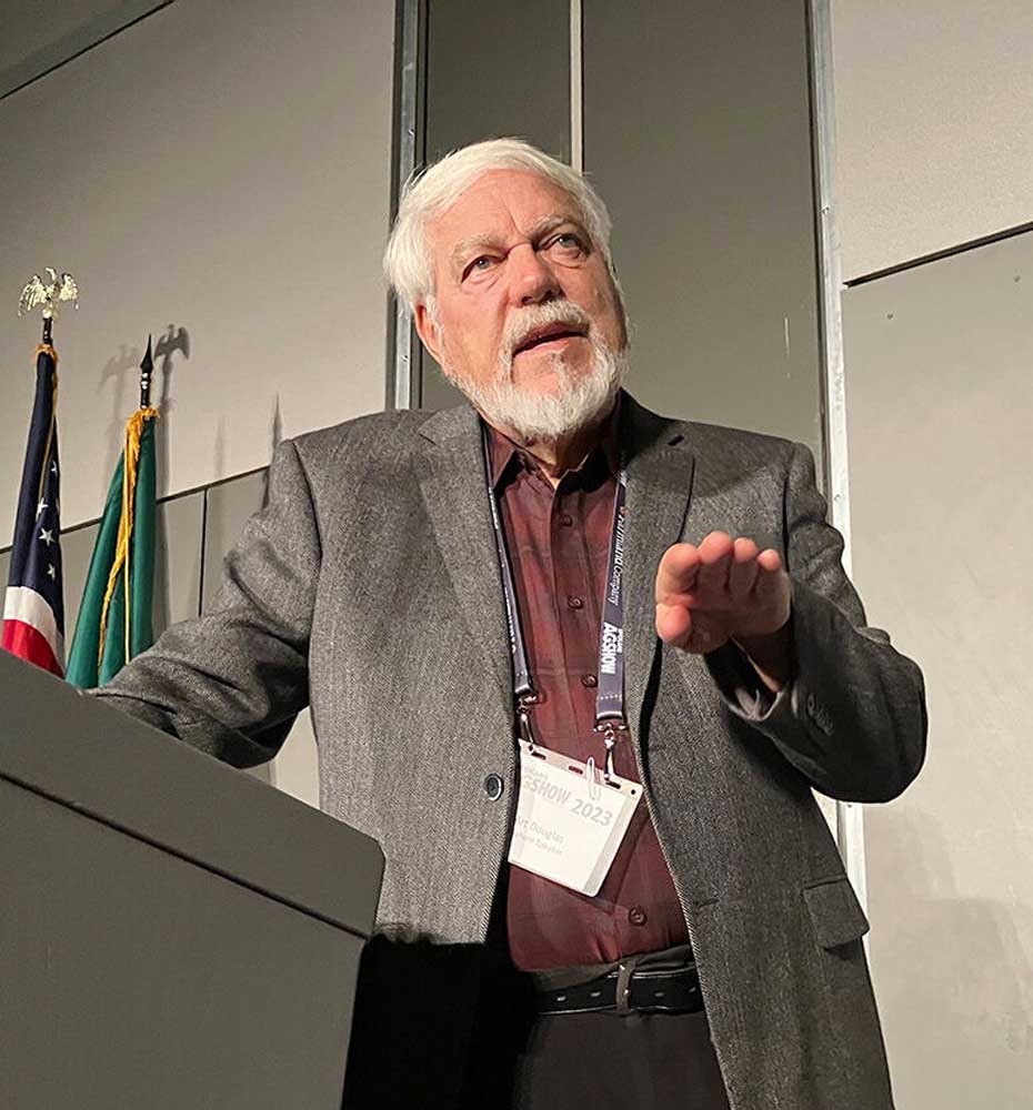
- Art Douglas, professor emeritus at Creighton University, takes an audience member’s question following his annual forecast Feb. 7 at the Spokane Ag Show.
SPOKANE — Popular weatherman Art Douglas said the outlook is “kinda grim” for the region’s farmers as La Niña ends and El Niño begins.
Trending
“The sooner El Niño starts, the sooner it dries out in the Pacific Northwest,” Douglas said. “Maybe you’re going to eke through with normal to slightly below normal precipitation in March and April here in the winter wheat country, but come May, it is going turn drier as well as warmer.”
Douglas, professor emeritus at Creighton University in Omaha, Neb., delivered the forecast during the Spokane Ag Show.
Douglas expects a high pressure ridge along the West Coast throughout February, keeping Pacific storms away, and another strong ridge in the Atlantic. A cold trough in the middle U.S. will remain.
Trending
The cold is likely to continue into March and April, Douglas said. It will stay relatively dry along the West Coast, with some moisture in the interior Pacific Northwest into western Montana.
A high pressure ridge in the Pacific Ocean will continue in the spring, with a storm track “way far” north of normal, Douglas said.
“It’s not going to come across that juicy warm water in the North Pacific,” he said. “Therefore the storms across the Pacific are going to be dry.”
Normally the Pacific Northwest should be wet during La Niña years, but the warm water pool and pressure ridges were too big and farther north than normal.
“The wetness that normally you guys get with La Niña has been up in British Columbia and the Panhandle of Alaska,” Douglas said.
The entire western U.S. will be drier than normal, he said.
Douglas predicted “massive changes worldwide” as El Niño hits in about May or June.
The Southwest will be hot in June before the monsoon arrives, pushing the drought high into the Pacific Northwest, he said.
A ridge off the West Coast will keep the West hot and dry, he said.
The Pacific Northwest will see near-normal summer temperatures, but “you’re going to start cool and end up hot,” Douglas said.
“The June coolness may not be too good for harvest; on the other hand, the June coolness may be OK for spring wheat,” he said.
Precipitation will be close to near normal in June, and eventually turn drier in July.
Monsoon moisture starts moving north into Washington and Idaho in August and September.
A trough in the midsection of the North Pacific is too far west to bring moisture into the coast.
“Unfortunately, for your winter wheat planting in September-October, things don’t look good,” Douglas said. “We’re going to have basically dry conditions.”
Douglas uses 16 different climate and equatorial indicators to identify analog years with similar climate anomaly patterns. He predicted 2023 would be most similar to 2021, 2008, 2018, 2001, 2014 and 2022.
Of those years, 2008 and 2014 turned into full-fledged El Niños, with 2001 being a “mini El Niño” year.
A southeast Washington farmer in the audience stood up during the question period at the end of Douglas’ presentation and said he had the worst crop since 1977 in 2021, and the “biggest crop ever” last year.
Douglas noted that the forecasts are broad, based on atmospheric conditions and sea surface temperatures in the Pacific and Atlantic oceans, not trying to make predictions on a detailed, local level for a grower’s backyard.
”What gave you the bad year was La Niña the way it’s been, and then the next year, your good crop, maybe that was La Niña doing it a different way,” he said.
Marketplace


-
eEdition

-

-
