Willapa’s wild mouth probed for Navy: UW scientists study bay’s infamous entrance
Published 1:29 pm Wednesday, July 2, 2025
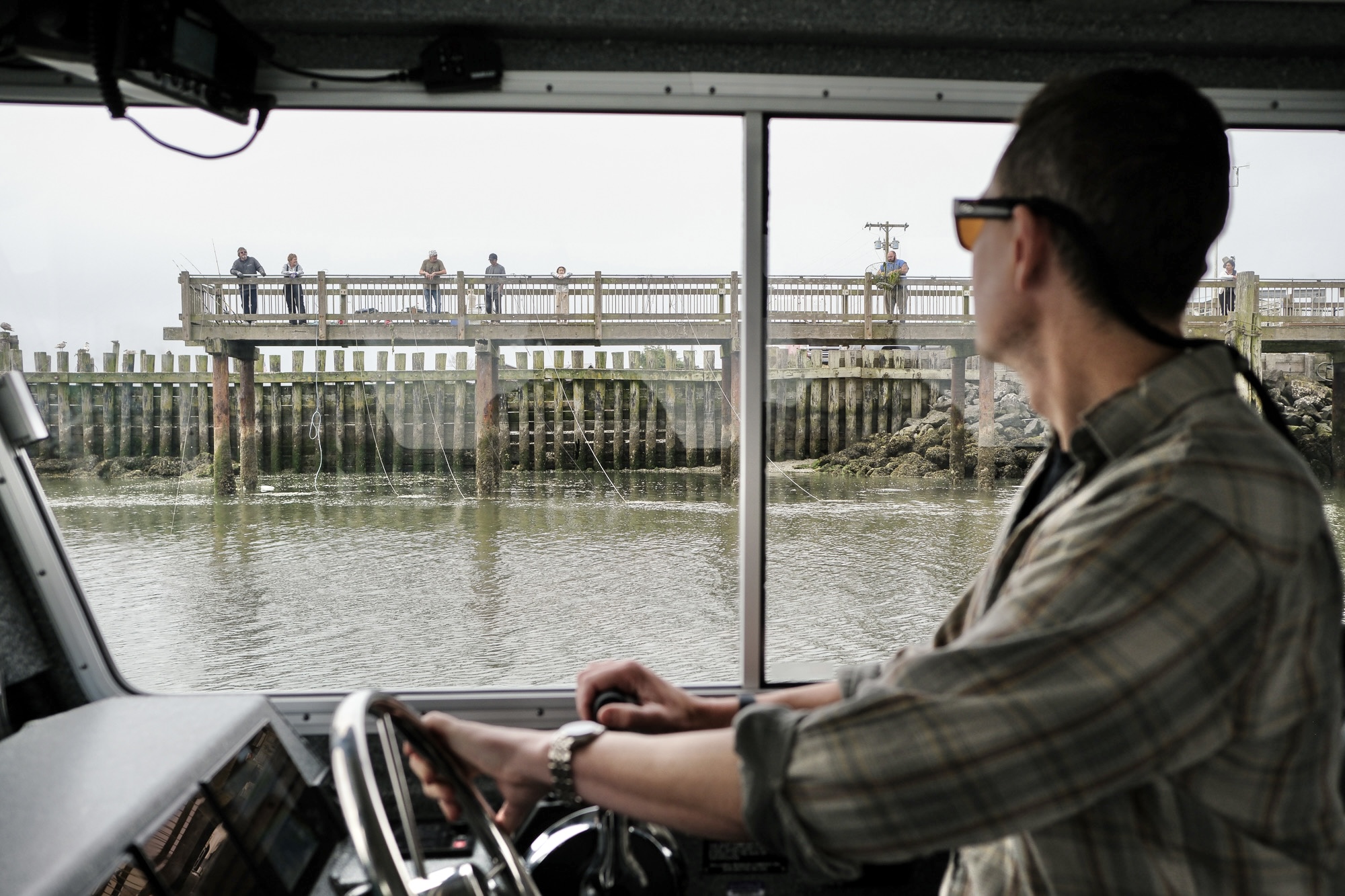
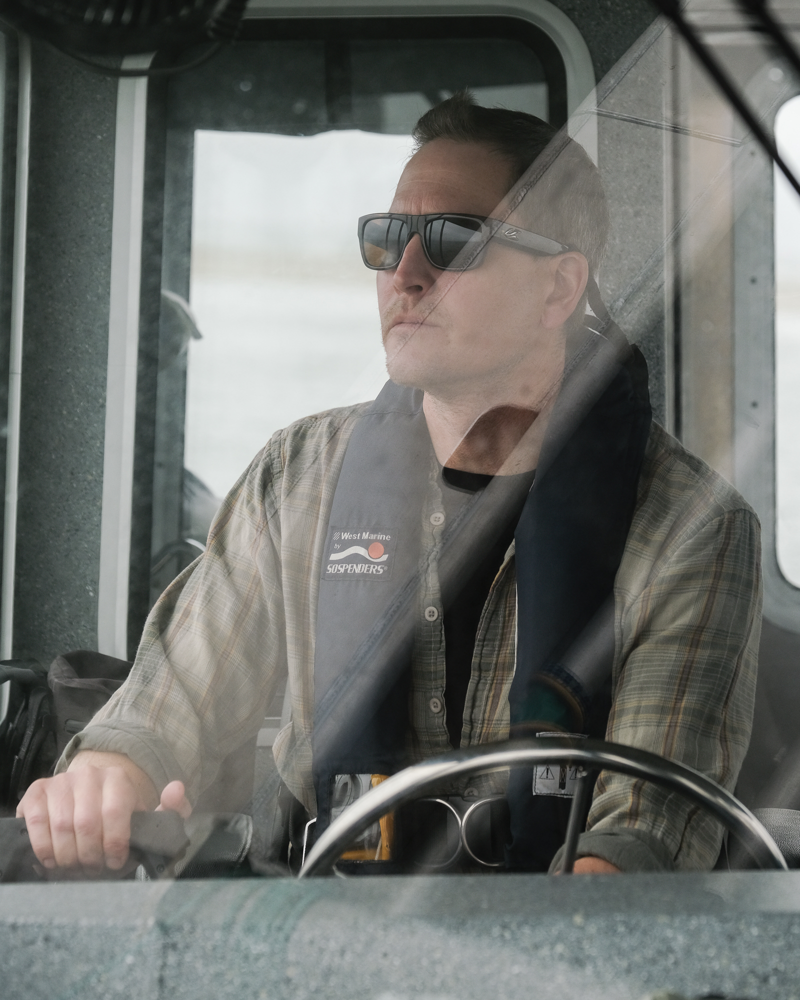


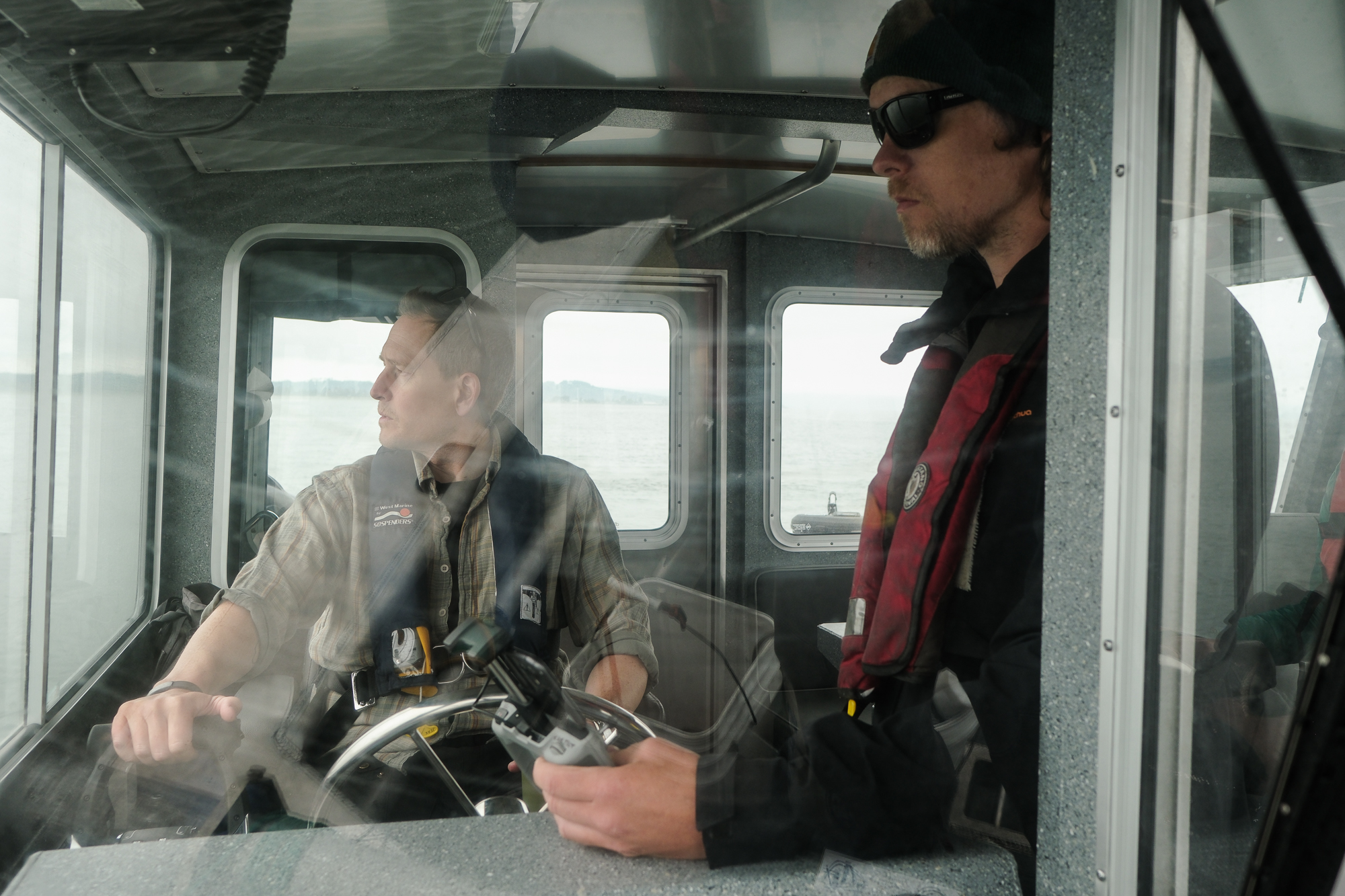
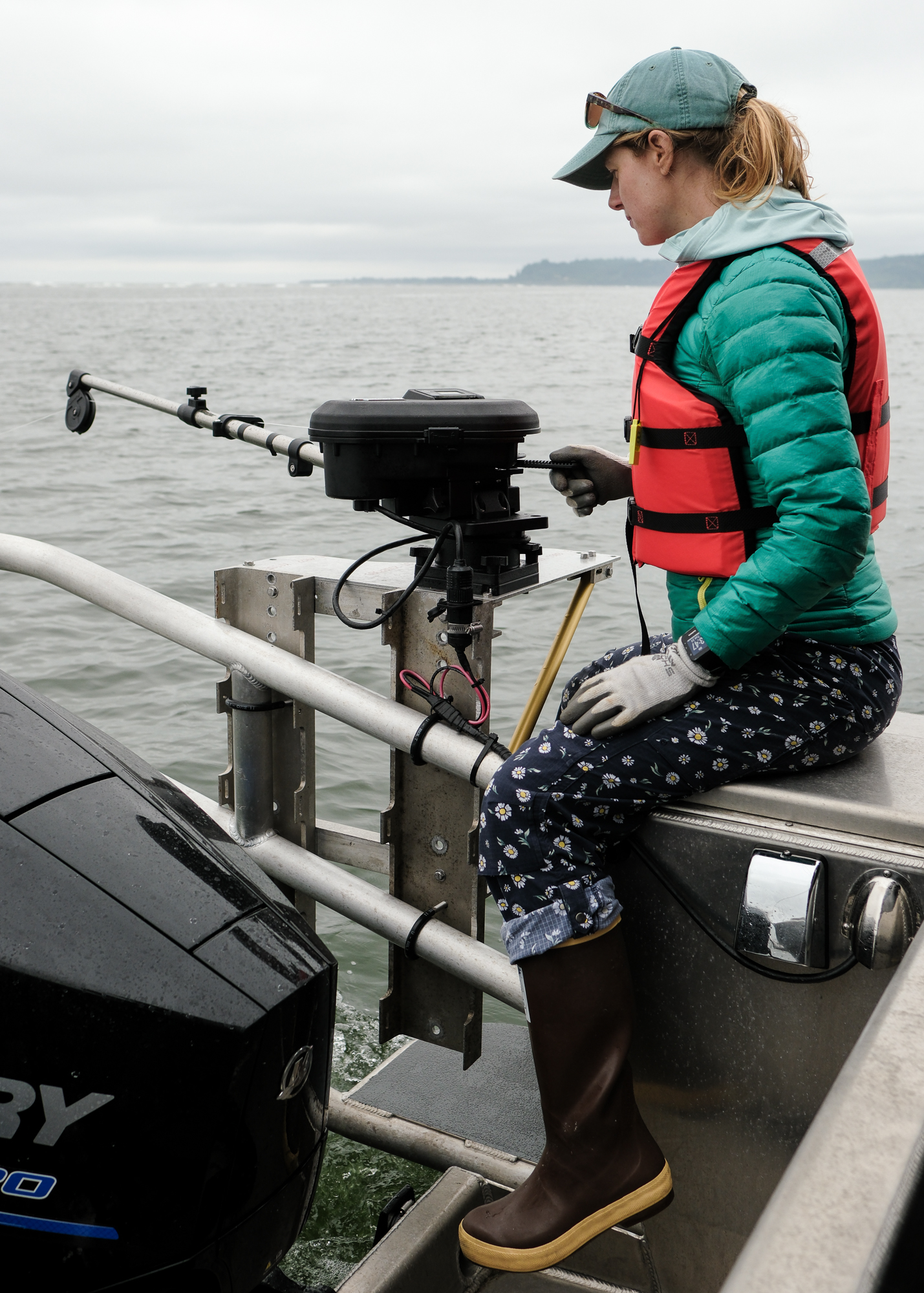


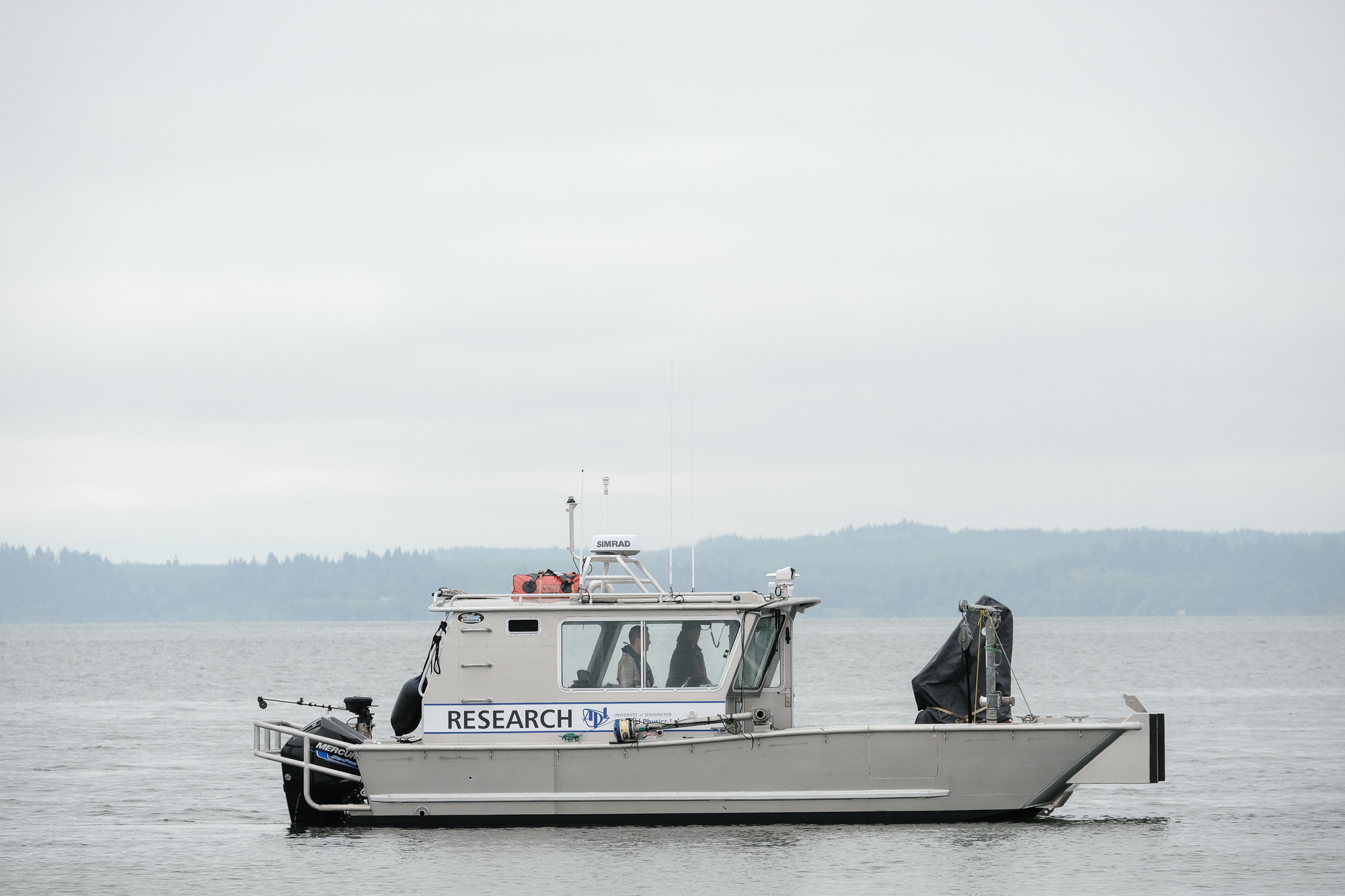
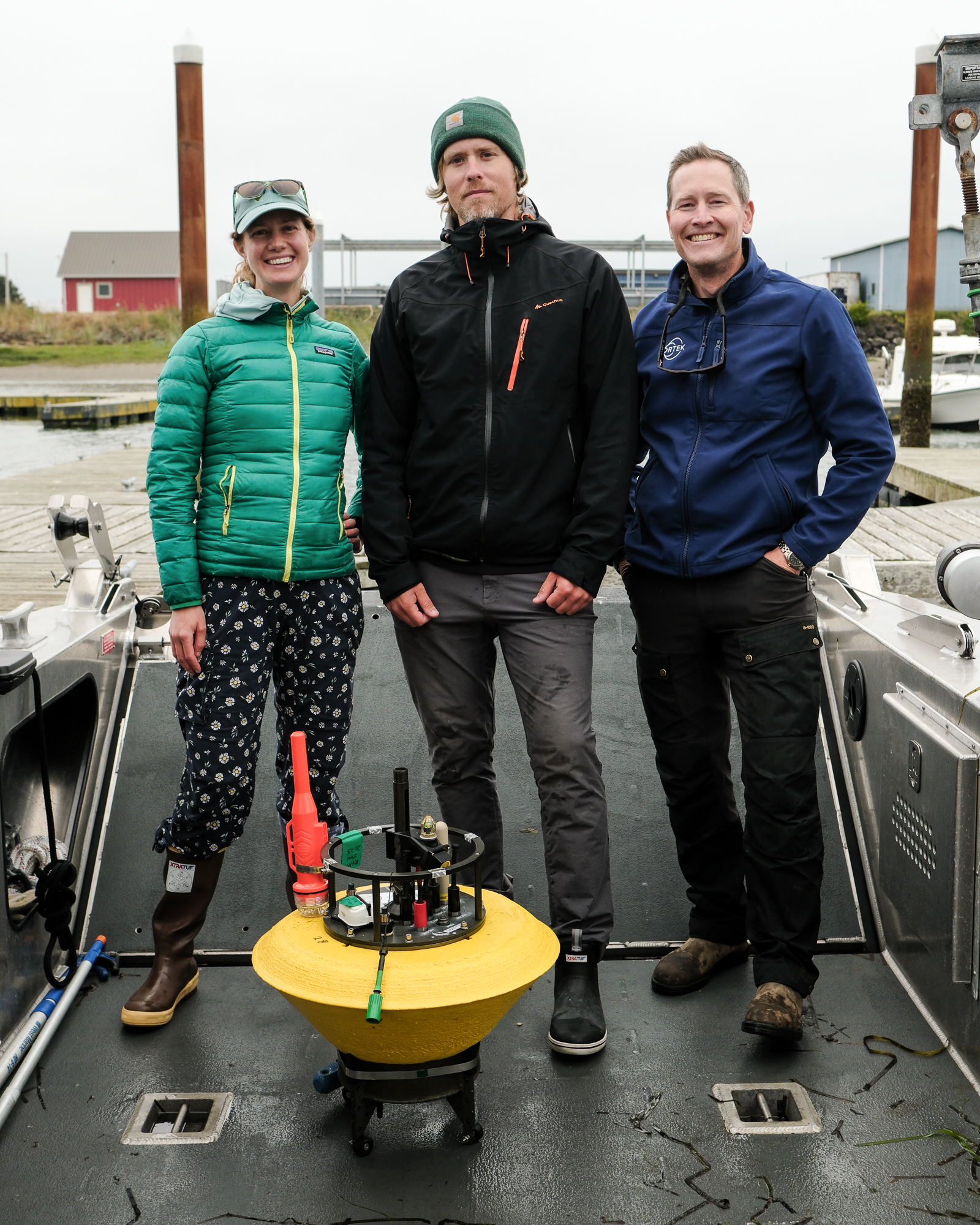


TOKELAND — Last Monday morning, the R/V Echo, a 26-foot landing craft custom-built for the Applied Physics Laboratory at the University of Washington (APL-UW), cast off on a flood tide from the Tokeland Marina, crewed by physical oceanographers Jim Thomson and Christie Hegermiller, and field engineer Alex de Klerk.
Within minutes, the vessel was heeling and pitching in rough waters as it approached the shore-facing side of a sandy, exposed shoal. This wasn’t wind chop, as the day was fairly still. Rather, these waves resulted from the complex interactions between swells, currents, and bathymetric features that characterize the mouth of Willapa Bay—the very interactions that the researchers were here to measure and observe over a nearly two-week period.
Still, at that moment, the choppiness took them by surprise.
As Thomson later explained, well after the sea had calmed and the shoal had disappeared beneath its surface: “We’re on the back side of the shoal, so I was expecting it to be much flatter, and for it to be that rough is really a convergence of a whole bunch of wave energy into that site that just surprised me.”
“Generally, the conventional wisdom for mariners is that the ebb is dangerous and the flood is safe,” he continued. “That we had those really rough conditions on the flood sort of undermines or calls into question some of the things that, not just as a scientist, but as a mariner, I’m sort of like, ‘Well, that was supposed to be…smooth.'”
Fickle and hazardous
In the context of Willapa Bay’s unique oceanographic properties, however, unexpectedly choppy conditions are no surprise at all.
Last dredged by the Army Corps of Engineers in the late 1970s and currently devoid of entrance buoys, the Willapa Bay bar is notoriously fickle and hazardous to navigate. The constant shifting and shoaling of sediments makes it an essentially unchartable channel—a reality that the Coast Guard has officially acknowledged and that the region’s crabbers have long chanced in pursuit of a livelihood. As a 2021 Coast Guard report put it: “You should only attempt to cross Willapa Bay Entrance if you are intimately familiar with the entrance.”
It is precisely this dynamism that interested Thomson, and the sponsor of his team’s research.
APL-UW is one of 13 DoD-sponsored University Affiliated Research Centers (UARC’s), most of which are associated with a specific branch of the U.S. military and receive funding through said branch’s research office. Since its inception at the height of World War II, APL-UW has been affiliated with the Navy.
“I am five generations removed from the person who made the wave forecast at D-Day,” said Thomson. “My advisor’s advisor’s advisor’s advisor.”
And from the Navy’s perspective, how to best predict the behavior of seemingly unpredictable waters and sediments, is of fundamental interest.
As Thomson put it last month at the Pacific County Marine Resource Committee’s science conference: “The Navy would like to know how the waves and currents and shoals work in a place like that. Can you quickly sample it, figure it out, and can you get a boat through it?”
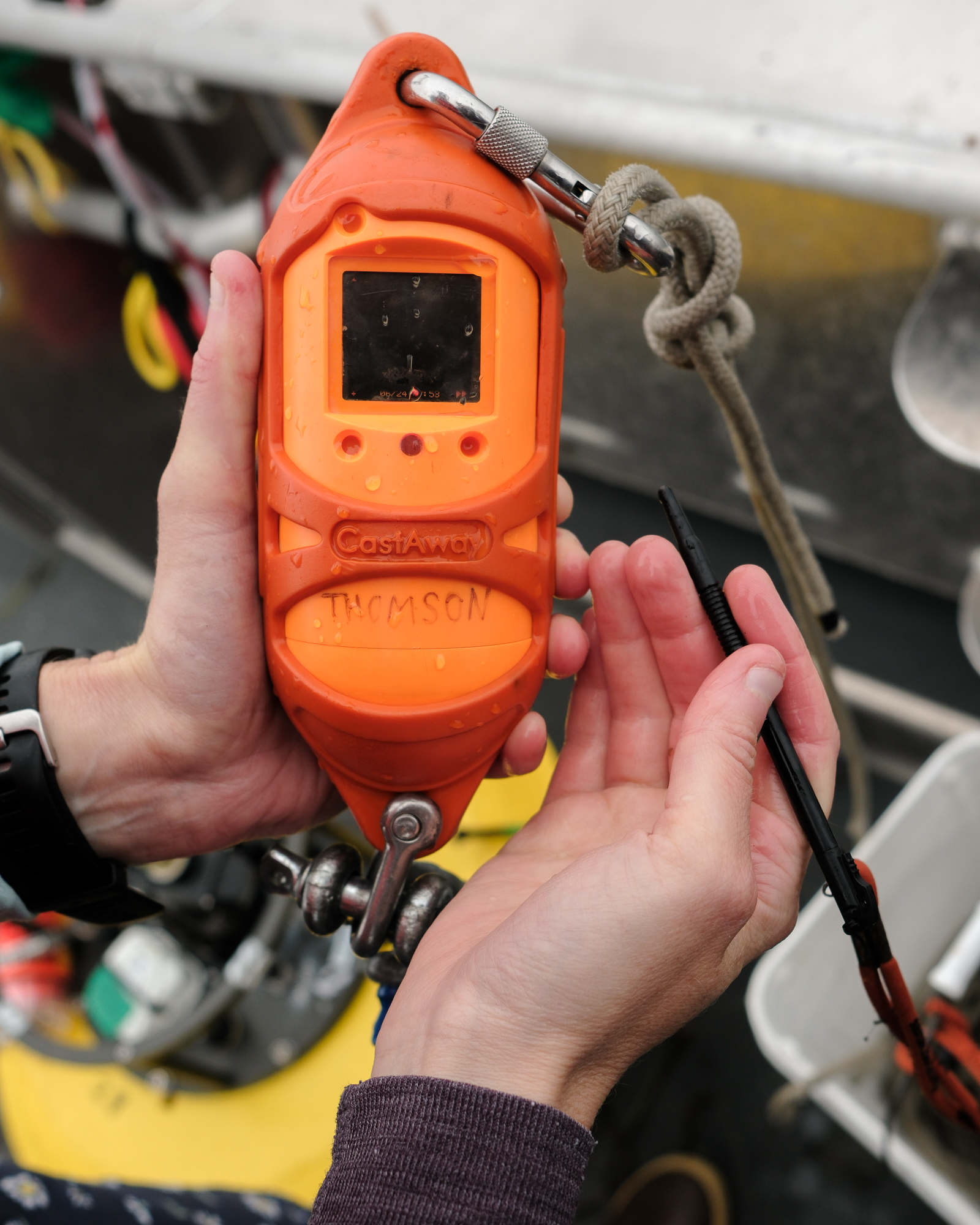
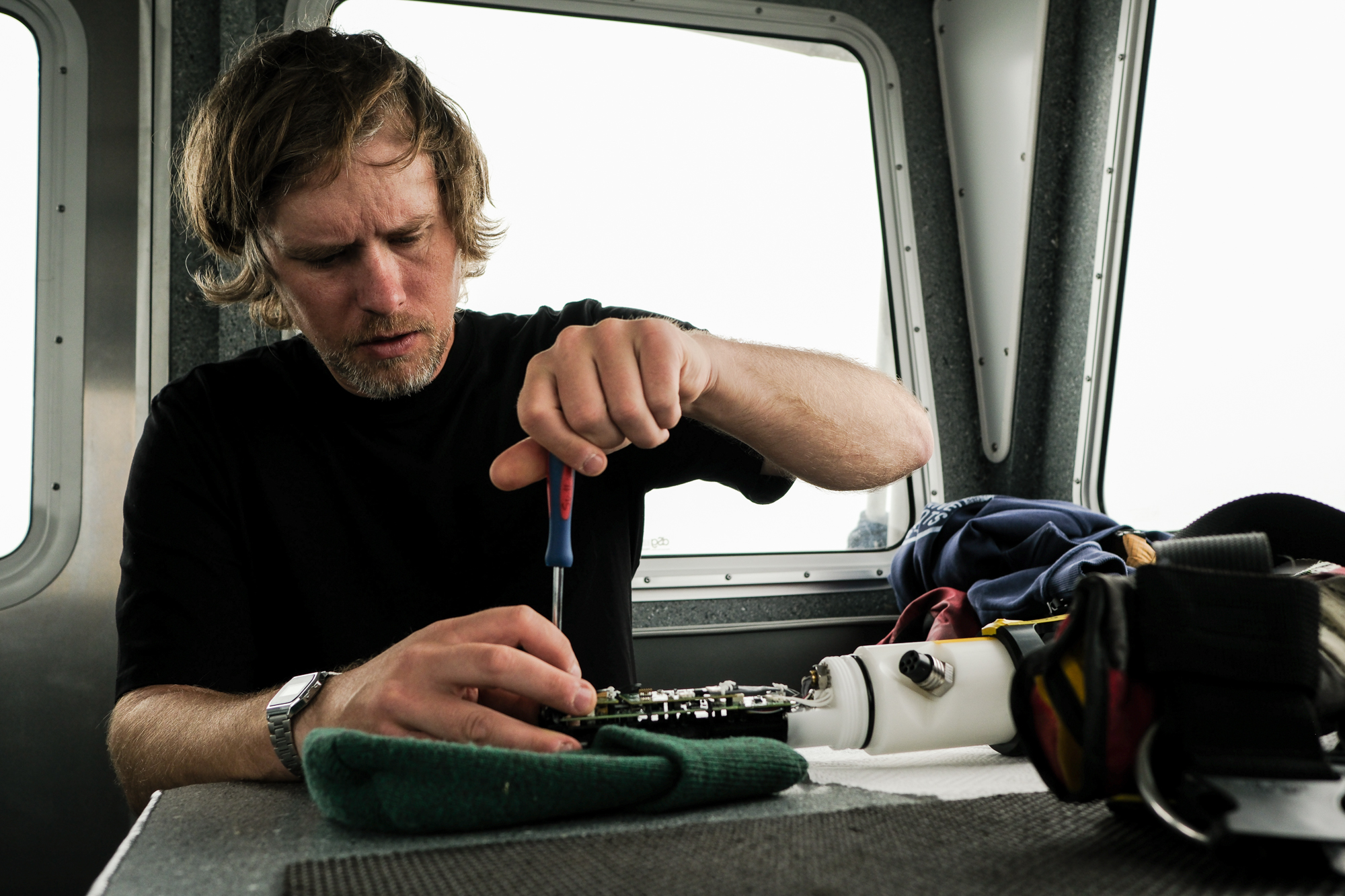
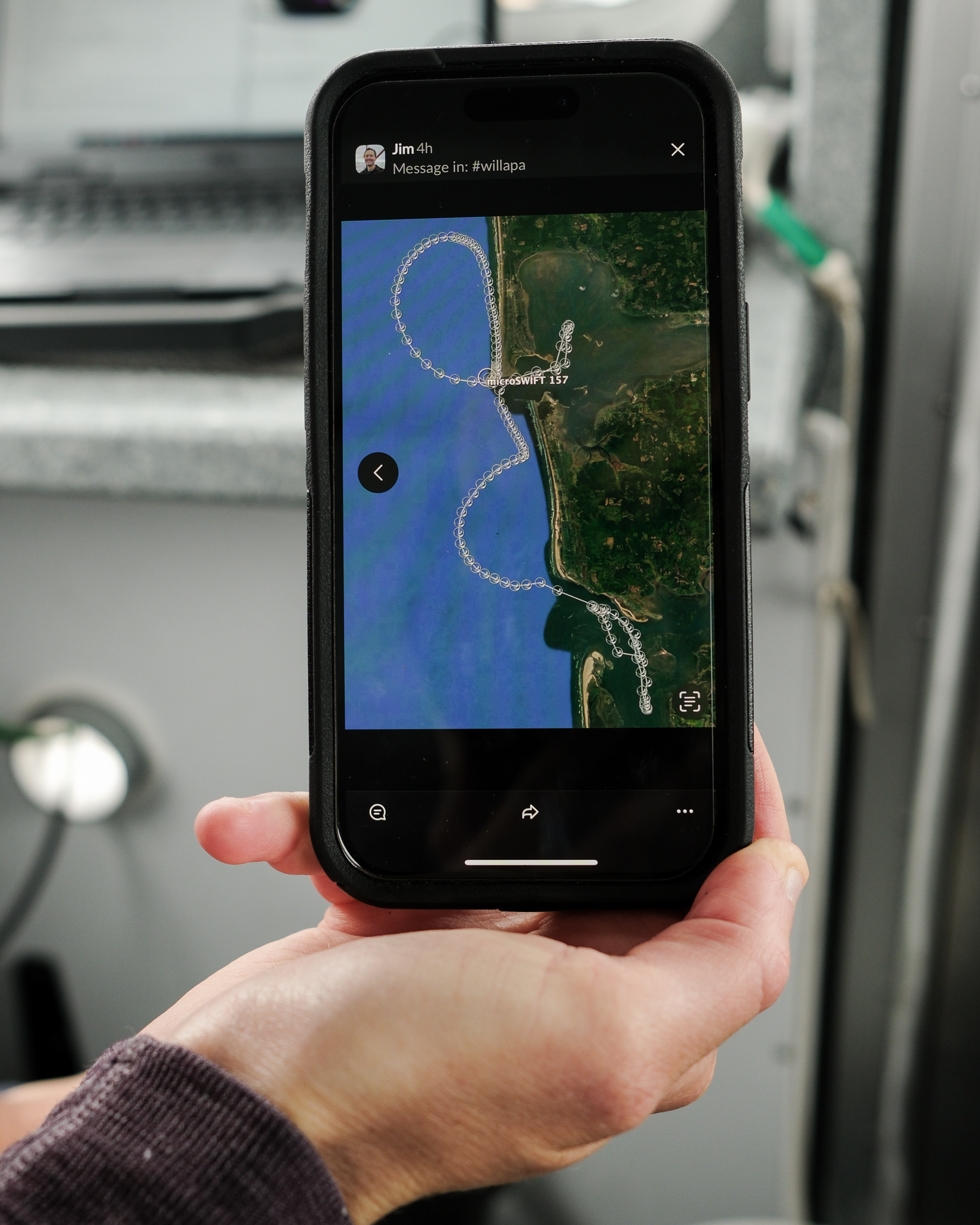
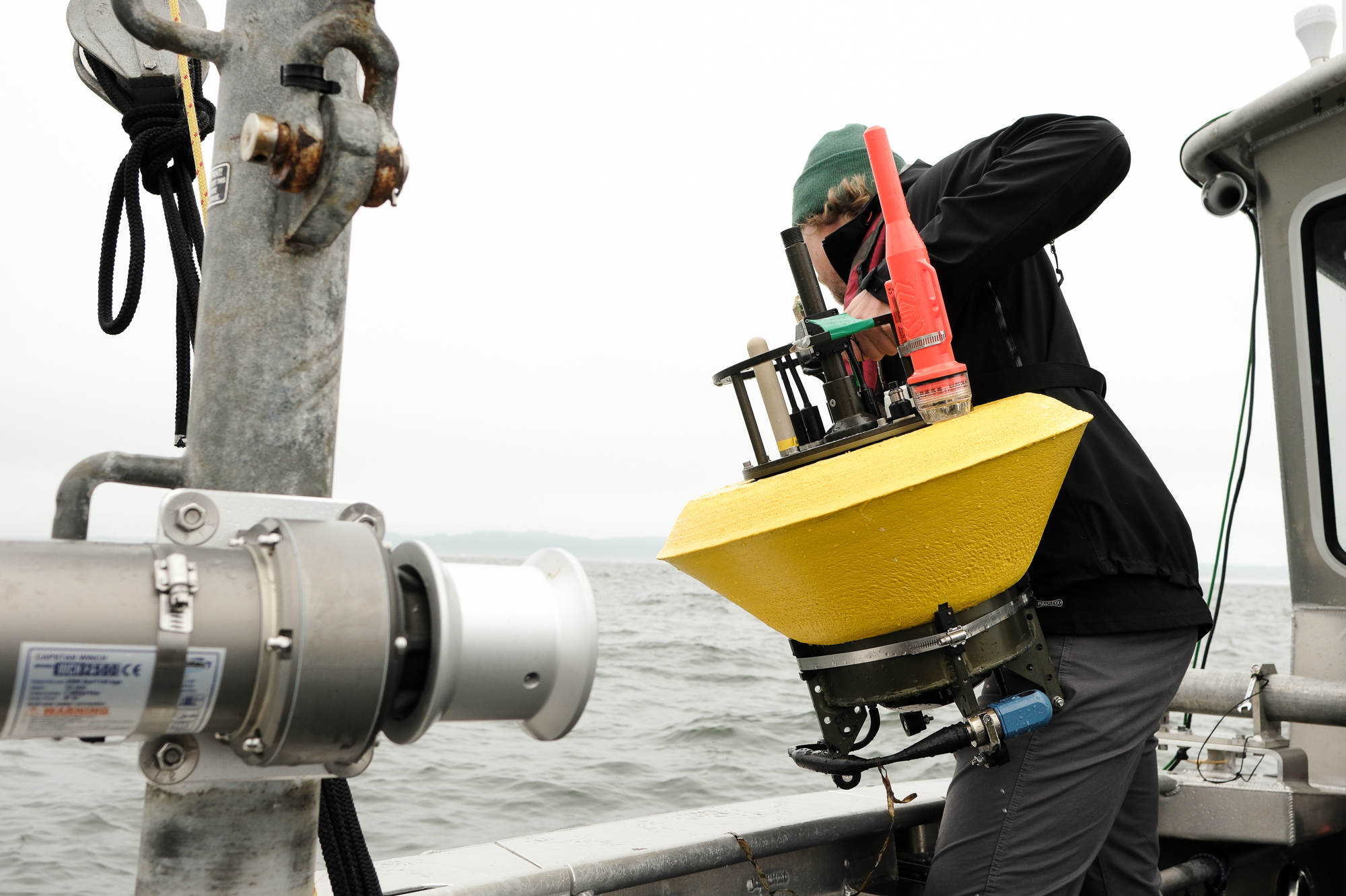
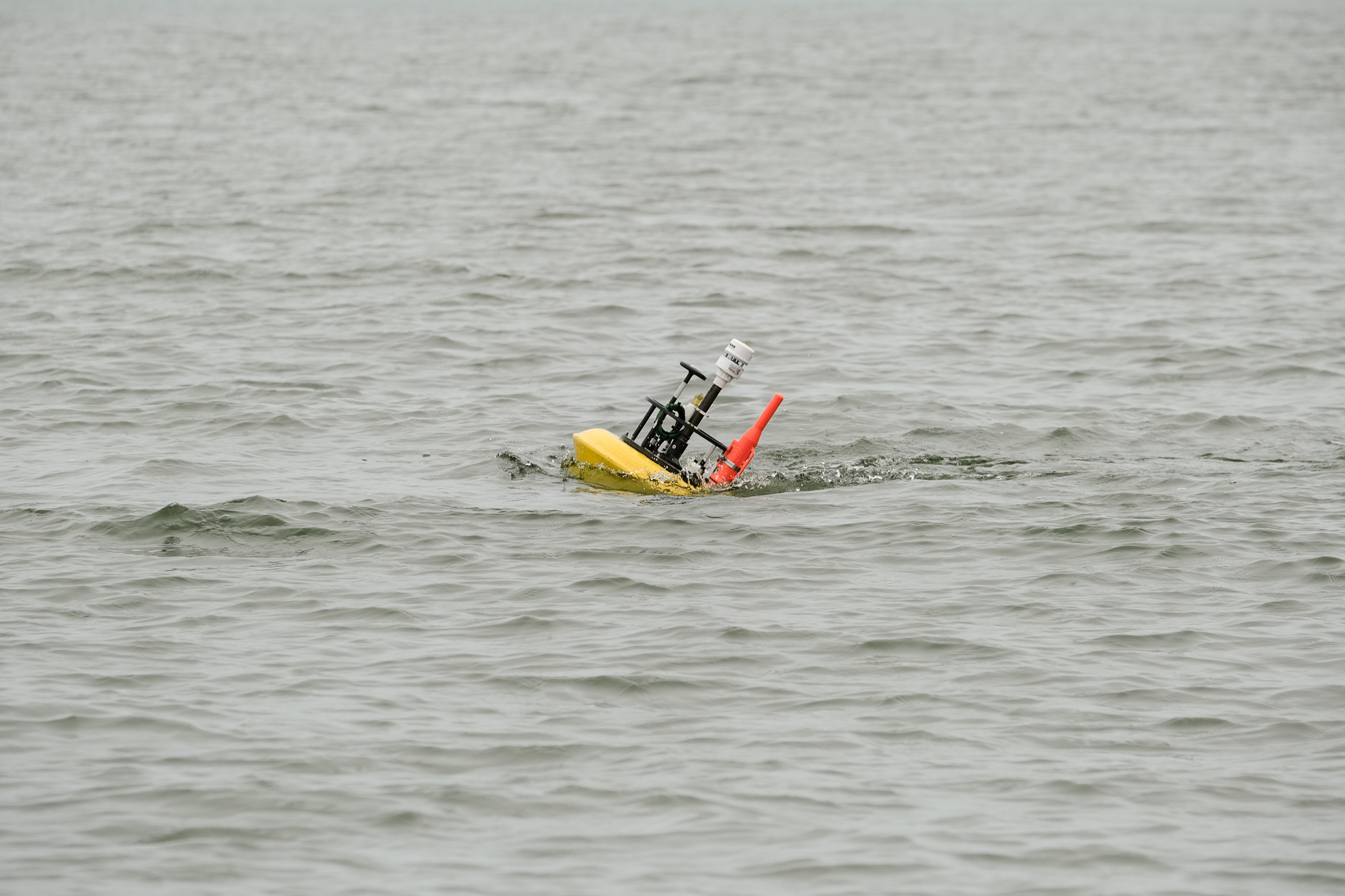
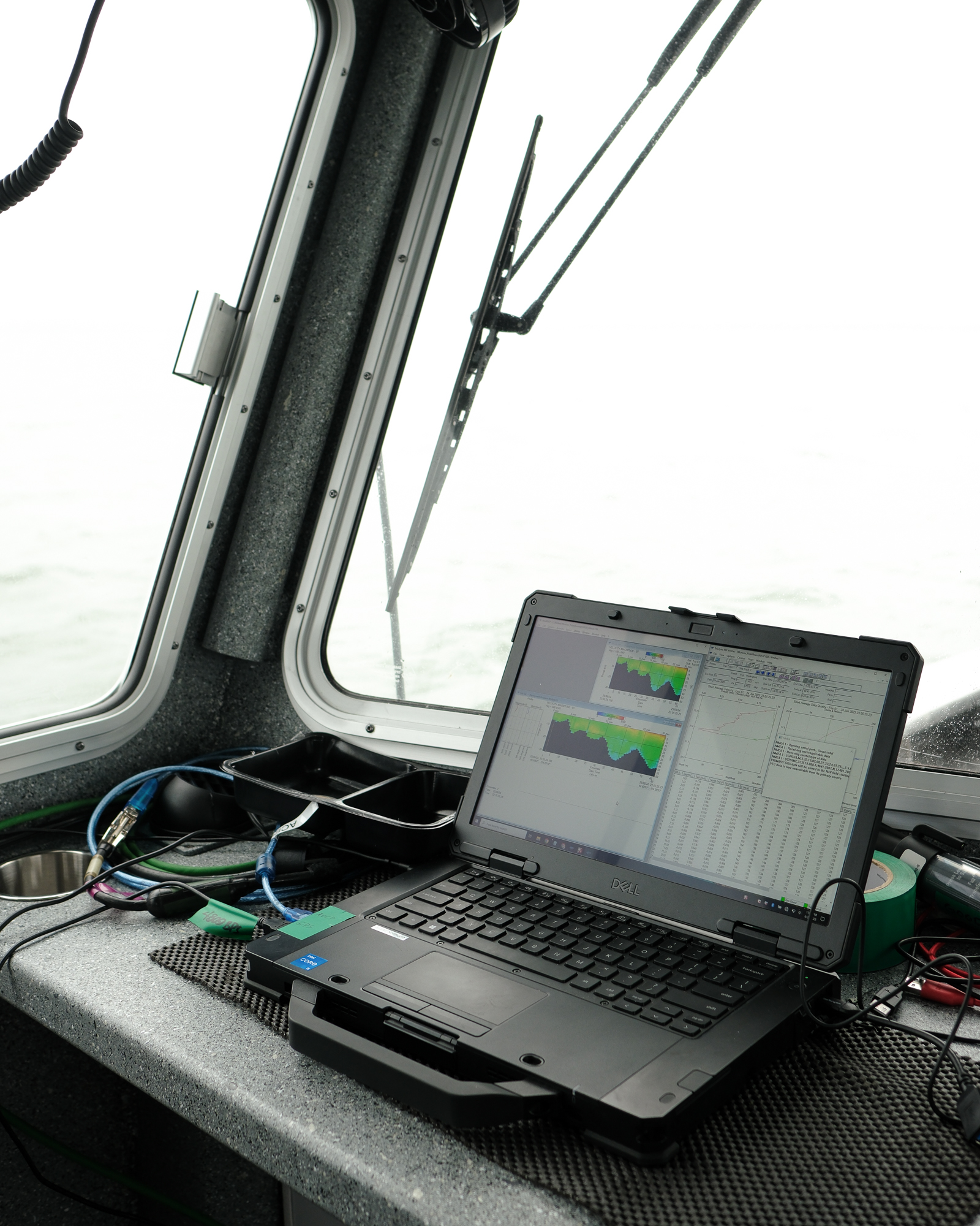
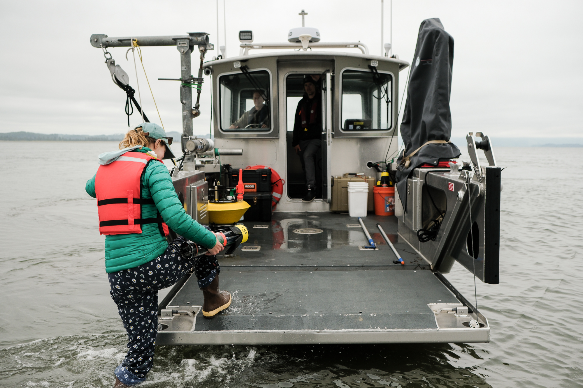
To that end, the researchers deployed various sensors and instruments to collect data beneath, on, and above the water’s surface. They dragged salinity, turbidity, and temperature-sensing probes through the water column. They temporarily moored six research buoys, each equipped with sonar-esque Doppler profilers that could measure the speed of currents at different depths. They set other buoys adrift on the tides. One meandered out of Willapa Bay, into Grays Harbor, and back, making giant offshore loops along the way. Another floated down to the south end of Willapa Bay. All could be tracked online.
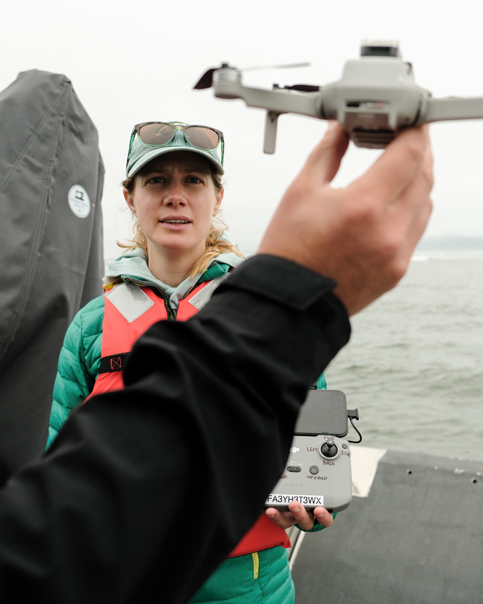
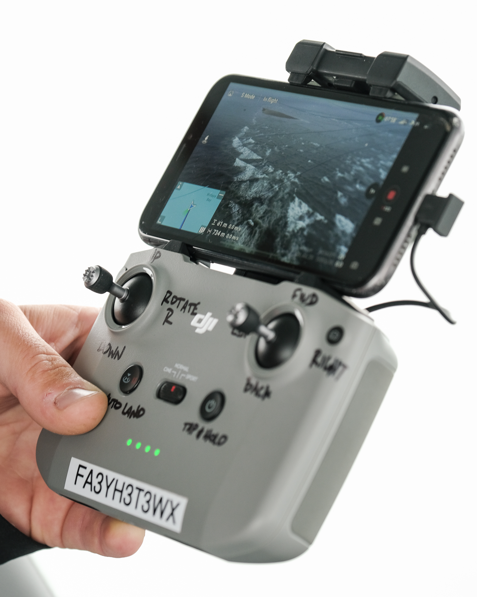
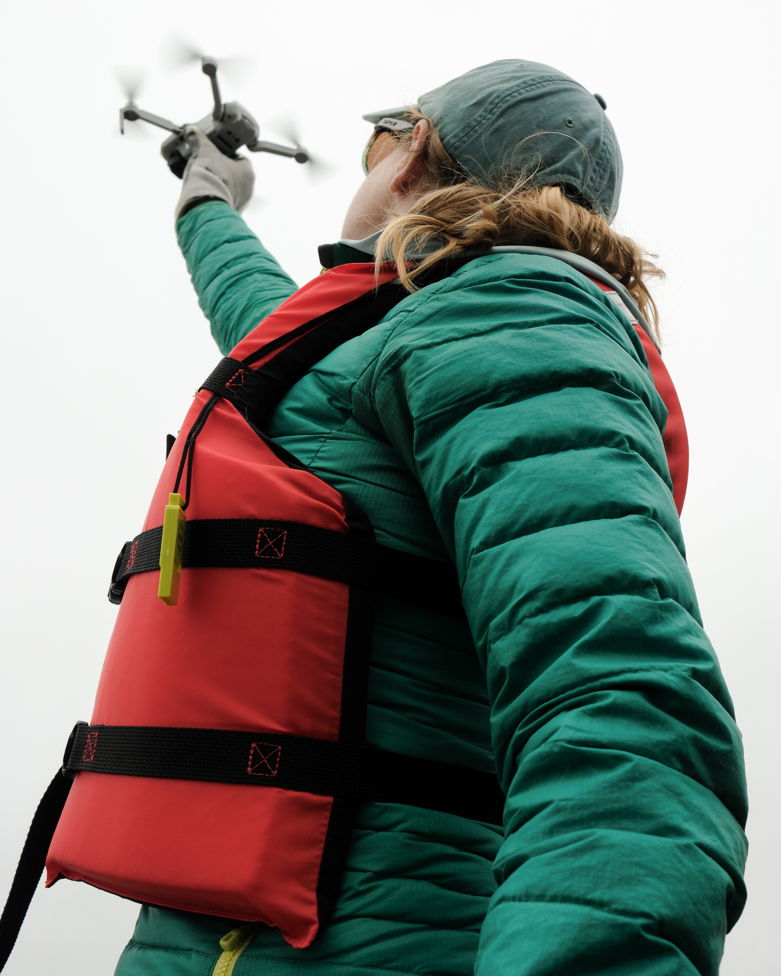
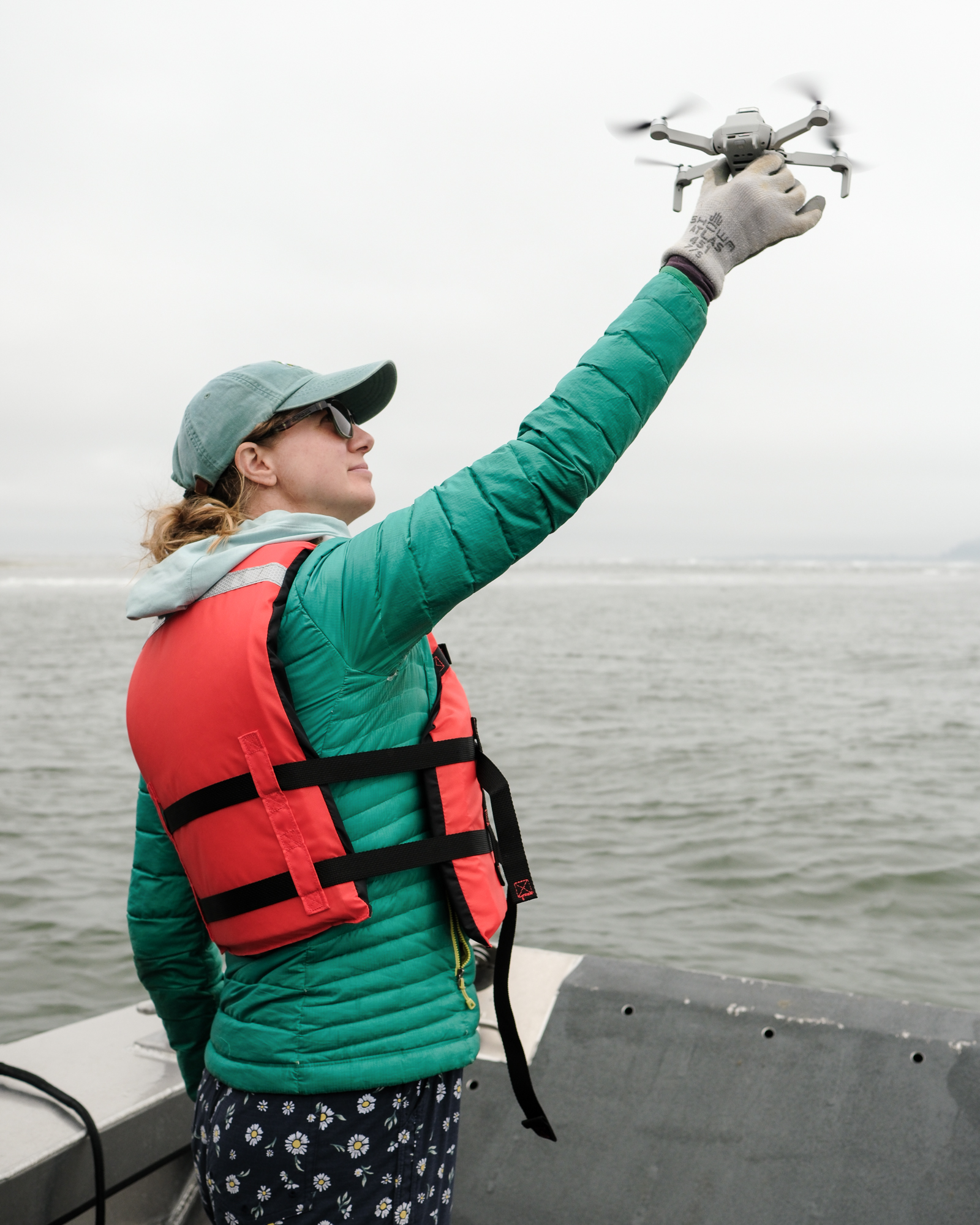
Both the boat-based researchers and a shore-based team flew drones in order to film waves breaking from different angles. The speed and frequency of these waves, which can be gleaned from the video footage, will ultimately help the researchers describe the underlying bathymetry. Or in other words, they can begin to describe what’s happening beneath the surface, simply by observing what’s happening above it.
It isn’t so much the team’s exact measurements of waves, currents, and bathymetry in Willapa Bay that the Navy is interested in. After all, any momentary “snapshot” of conditions in the bay is likely to be obsolete—if not within a few months, then certainly within a few years.
Rather, it’s the research team’s methods that could presumably be replicated in an operational context.
The Navy could “fly a drone like we’re about to, take a whole bunch of images of the shoals and the waves breaking, map exactly where the shoals are, and how deep they are,” and figure out “under what conditions the waves are dangerous and breaking…what the phasing of the currents is, [and] how strong the currents are,” said Thomson.
“Are the currents faster than your SEAL delivery team vehicle can go? Are they slower? It’s rapid assessment and understanding of an environment.”
The self-described “ocean nerds” aboard the R/V Echo haven’t been deterred from pursuing their own lines of inquiry and coming up with their own hypotheses about the bay, however. Hegermiller, for instance, suspects that shoaling and accretion in the middle of the entrance to Willapa Bay may have something to do with the way northward-moving sediments offshore are rounding the sand spits extending off Leadbetter Point.
“[The sediment] has got a long ways to go before it gets here,” she said, pointing on a map to the spot where the team bumped into the exposed shoal that morning. “And so it’s ending up here, and then the waves and the currents together are like, kind of keeping it in this zone.”
Navy achieves own goals
It isn’t lost on Thomson, however, that no matter how one spins it, his team’s project isn’t designed to respond to the needs of the local community.
The data the researchers have gathered will likely refine LiveOcean, a computer model built and maintained at the University of Washington. The model forecasts ocean conditions all along the Washington coastline and can provide useful information to the region’s shellfish farmers.
But ultimately, neither the Navy’s operationally driven, nor the researchers’ curiosity-driven application of the data are likely to be immediately useful to those who live with the most extreme effects of bay’s dynamism.
“We are short timers, and I feel bad about that,” said Thomson.
“We’re not here to solve the erosion problem, and we’re not here to give you permanent, long term monitoring of your bay,” he continued. “We’re here to use your site, your backyard, your home…and I’m very sensitive to that. Like, I’m not a local, right? We’re here to use it as a great test case for how to observe and understand a system like this—one that is still mostly in its natural state, and one that is extremely challenging and even dangerous.”
For now, the researchers are returning north with an enormous trove of data. The scientific knowledge they generate with it may one day complement the community’s own intimate and experiential understanding of a wild and restless bay.


-
eEdition

-

-