Willapa pedaling State Parks makes plans for next 15 miles of cross-state trail network
Published 10:41 am Tuesday, April 24, 2018
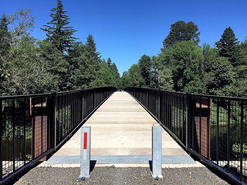
- Fully redeveloped segments of the trail have first-class infrastructure such as this bridge.
WILLAPA RIVER VALLEY — In the early 20th century when the Northern Pacific Railway was hauling tens of millions of board feet of lumber and sawlogs out of the Willapa Hills, no one would have guessed the route winding through forests and along the river would someday be used for scenic recreation. This week, Washington State Parks took preliminary steps toward improving more of the old rail corridor for hiking, cycling and equestrian use.
Trending
First constructed in the late 1800s, “The railroad brought rapid change to the land around Willapa Bay. Small communities, many with sawmills, rose up to process lumber,” according to State Parks. “Newly cleared acreage was converted into farmland. Crops were loaded onto railroad cars and carried to markets throughout the American West. Railroad bridges and trestles were also added, spanning big and small waterways along the route.”
Passenger service ended in 1954, while the decline in logging and a switch to trucks largely eliminated the need for freight service by the 1980s. Abandonment of rights-of-way across the U.S. led to the rails-to-trails movement, which has resulted in around 31,000 miles of long, skinny parks, including five in Washington.
The state acquired the 56-mile Chehalis to Raymond route in 1993 after Northern Pacific formally abandoned it in 1990.
Trending
In Pacific and Lewis counties, Willapa Hills State Park Trail winds through pastoral farms and forestlands, often near the Willapa River. Like most rail routes, it has a modest grade. It theory, this would make it an easy path for walkers and cyclists. But much of the middle section of the trail in eastern Pacific County traverses fairly rough terrain.
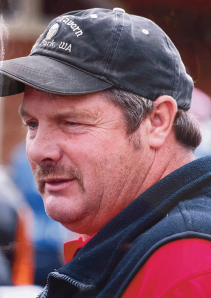
Last year, dedicated amateur cyclist Jim Sayce, executive director of the Pacific County Economic Development Council, peddled the route and found it to be a challenging but highly rewarding adventure.
“Incredible trail,” Sayce said. “World-class potential.”
Washington officials describe Willapa Hills as “a key element of State Parks’ long-term plan for a cross-state trail network from the Idaho Border to the Pacific Ocean.”
Development of the route into a usable recreational asset has taken years. In the 1990s, some residents of the Willapa River Valley were highly skeptical of the idea. Some feared lacing a public trail through private farmland would result in trespassing, littering and loss of privacy, while others advocated allowing adjoining landowners to reacquire the right-of-way that in some cases had been bought from ancestors or other predecessors on the property.
However, surrounding communities appear to have largely come around to regarding the trail as a valuable addition, with little downside. The 22 miles between Chehalis and Pe Ell and the first five miles from South Bend to Raymond are fully developed, according to State Parks.
This Monday, the agency held a public meeting Menlo to explore making the trail fully functional for another 15 miles between Raymond and Lebam. Funds still must be obtained, with State Park intending to apply for a grant this August through the Washington Wildlife and Recreation Program in the State Parks category.
If approved, the grant would provide funding for key elements including:
• Compacted gravel trail surfacing.
• Trail re-routing near Bridge 48.
• A new bridge at mile 38 near Lebam.
• Two trailhead parking areas at Menlo and Lebam.
• Other minor improvements to various bridges.
If the grant is awarded, funding could be made available to State Parks by the Legislature by July 2019.
About 14 miles of the old Northern Pacific route would remain to be redeveloped following this proposed work.
Marketplace


-
eEdition

-

-
